Shipwrecks Water Trail

Explore the Ghost Fleet of Mallows Bay

Many of the ships in Mallows Bay follow the "Ferris" style, named after Theodore E. Ferris, a senior architect for the United States Shipping Board (USSB). Each "Ferris" ship measured about 282 feet long and 3,500 tons.

Mallows Bay Shipwrecks

Mallows Bay-Potomac River National Marine Sanctuary protects and interprets the remains of more than 100 World War I-era wooden steamships, known as the Ghost Fleet.

This virtual shipwreck tour highlights many of the sanctuary’s famous ships, as if you were paddling right next to them. Along the way, hotspots highlight ship histories, share historical images, and even show virtual ship models. These models offer a view of the wrecks as they are today or how they looked in the past.

The ships were built for the U.S. Emergency Fleet between 1917 and 1919, as part of America’s engagement in World War I. Their construction at more than 40 shipyards in 17 states was a massive effort. This effort drove the expansion and economic development of communities. It also grew the maritime industry. After the war ended, over a hundred of these ships found their way to Mallows Bay. Today, they serve a new role as islands of life.


Emergency & Safety Information

Due to the location of the park, during an emergency please call the Charles County Sheriff's Department, they will connect caller with the county 911 services.

301-932-2222

Please save this number on your device


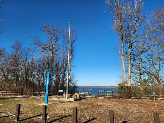
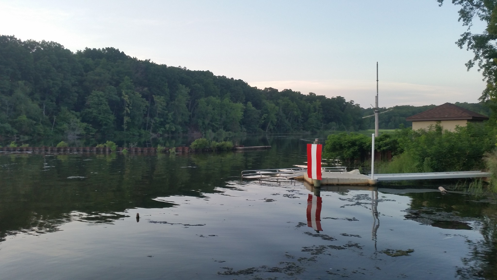
Emergency Call Station

1442 Wilson Landing Rd
Nanjemoy, MD 20662

GPS: 38.468261, -77.263518

Get Directions

Paddling Safety Tips

  • ALWAYS WEAR YOUR LIFE JACKET.
  • PADDLE WITH OTHERS IF POSSIBLE.
  • COLD WATER TEMPERATURES ARE HAZARDOUS TO PADDLERS. Paddling is recommended between May and September.
  • WHEN PADDLING IN WIND, STAY CLOSE TO SHORE.
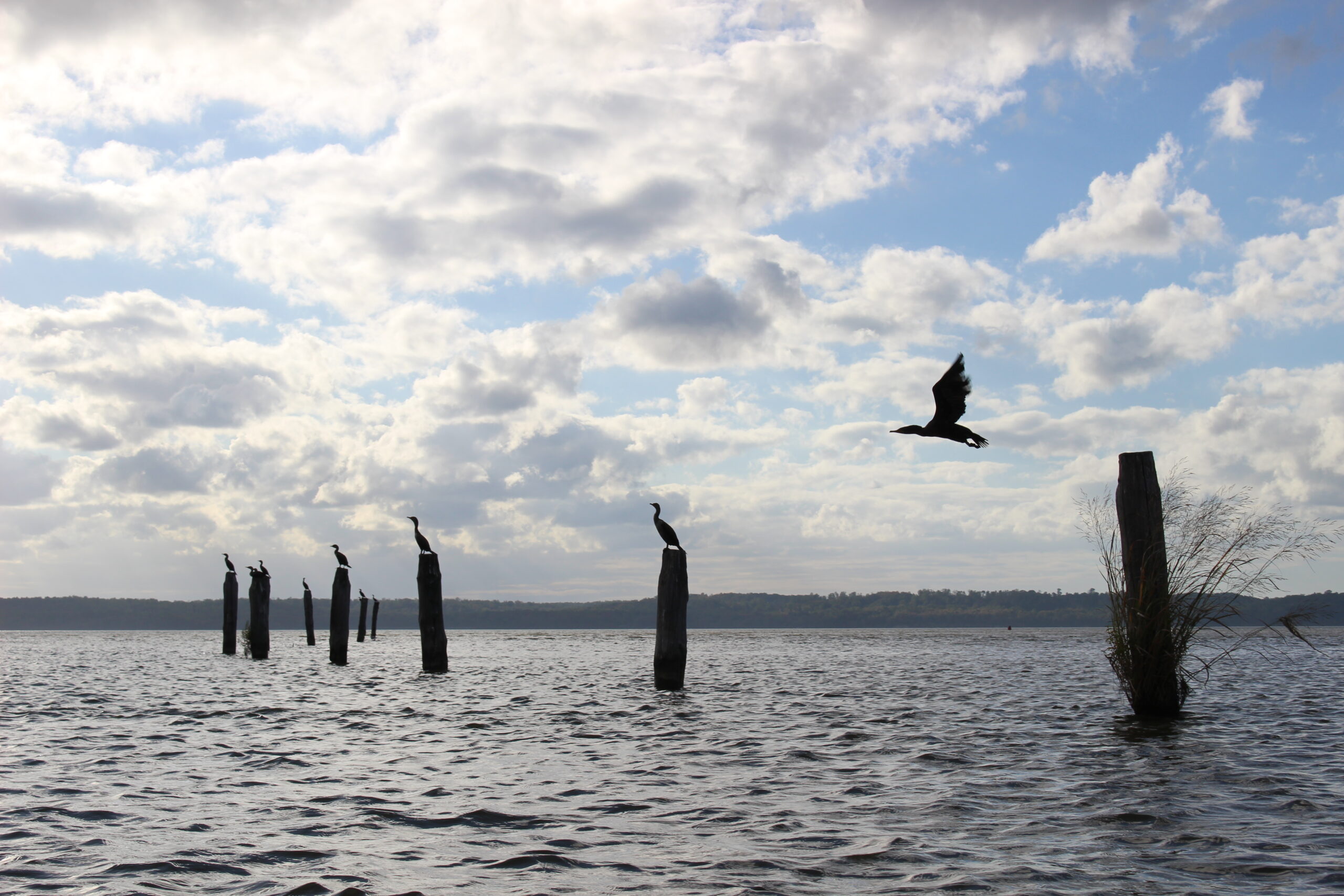
  • RESPECT WILDLIFE. Animals and birds should be viewed from a distance.
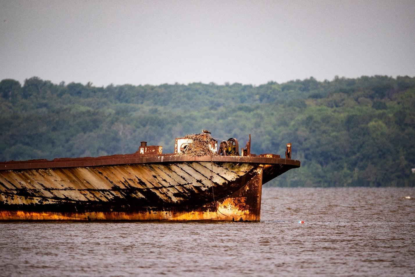
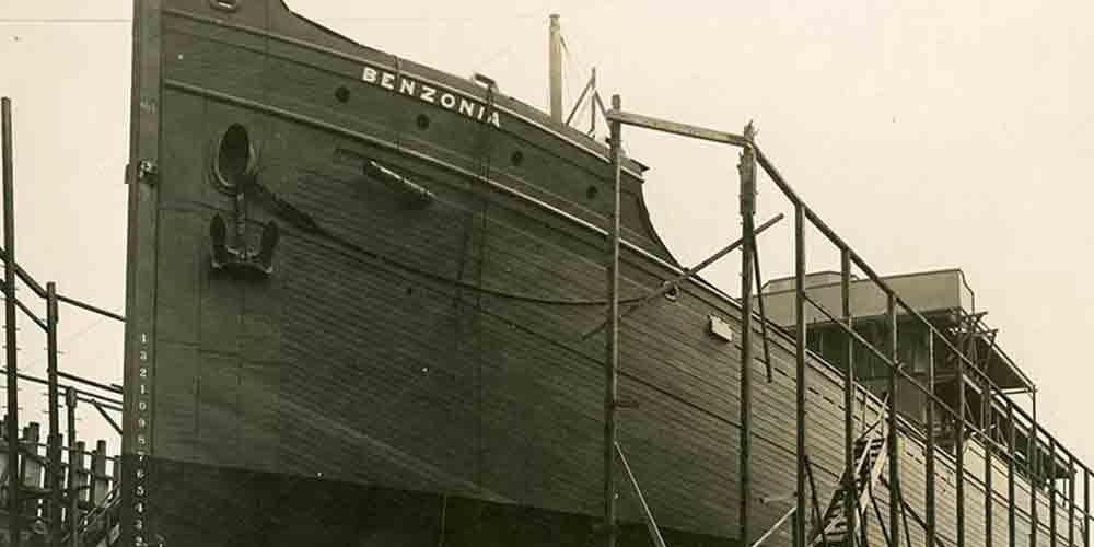
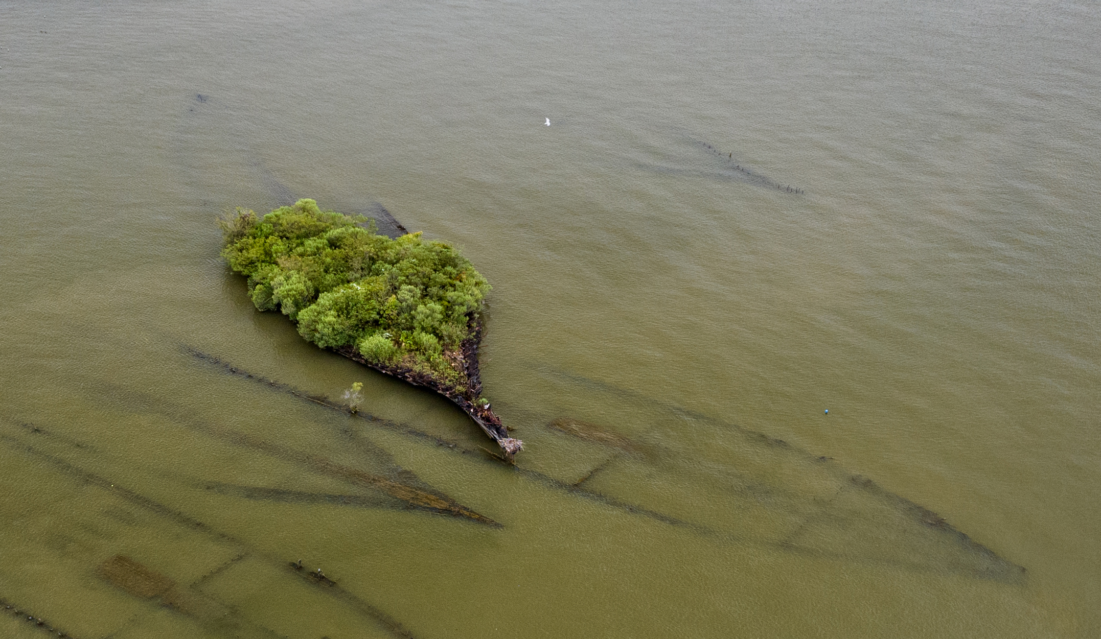
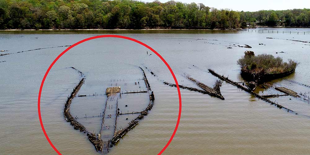
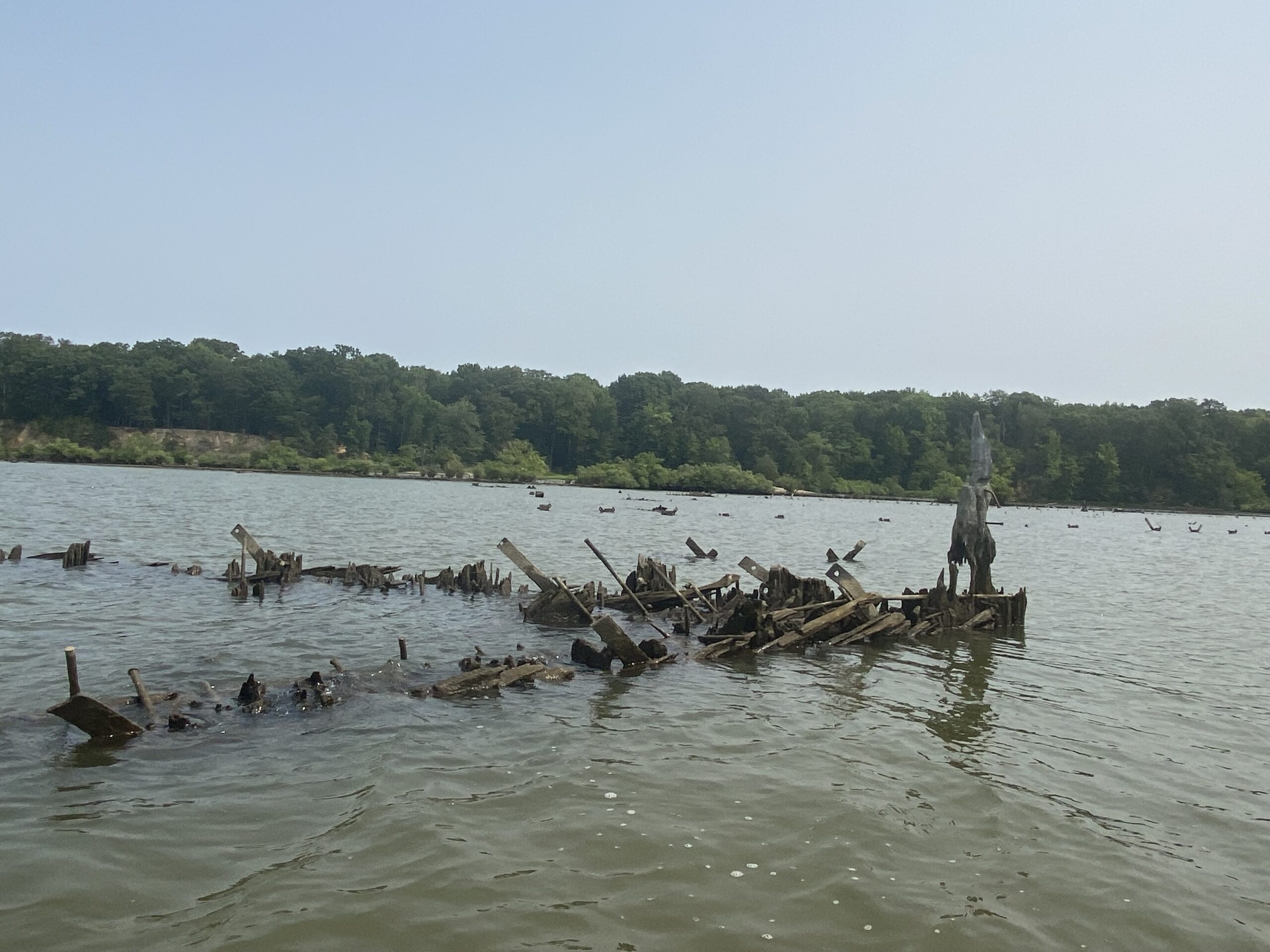
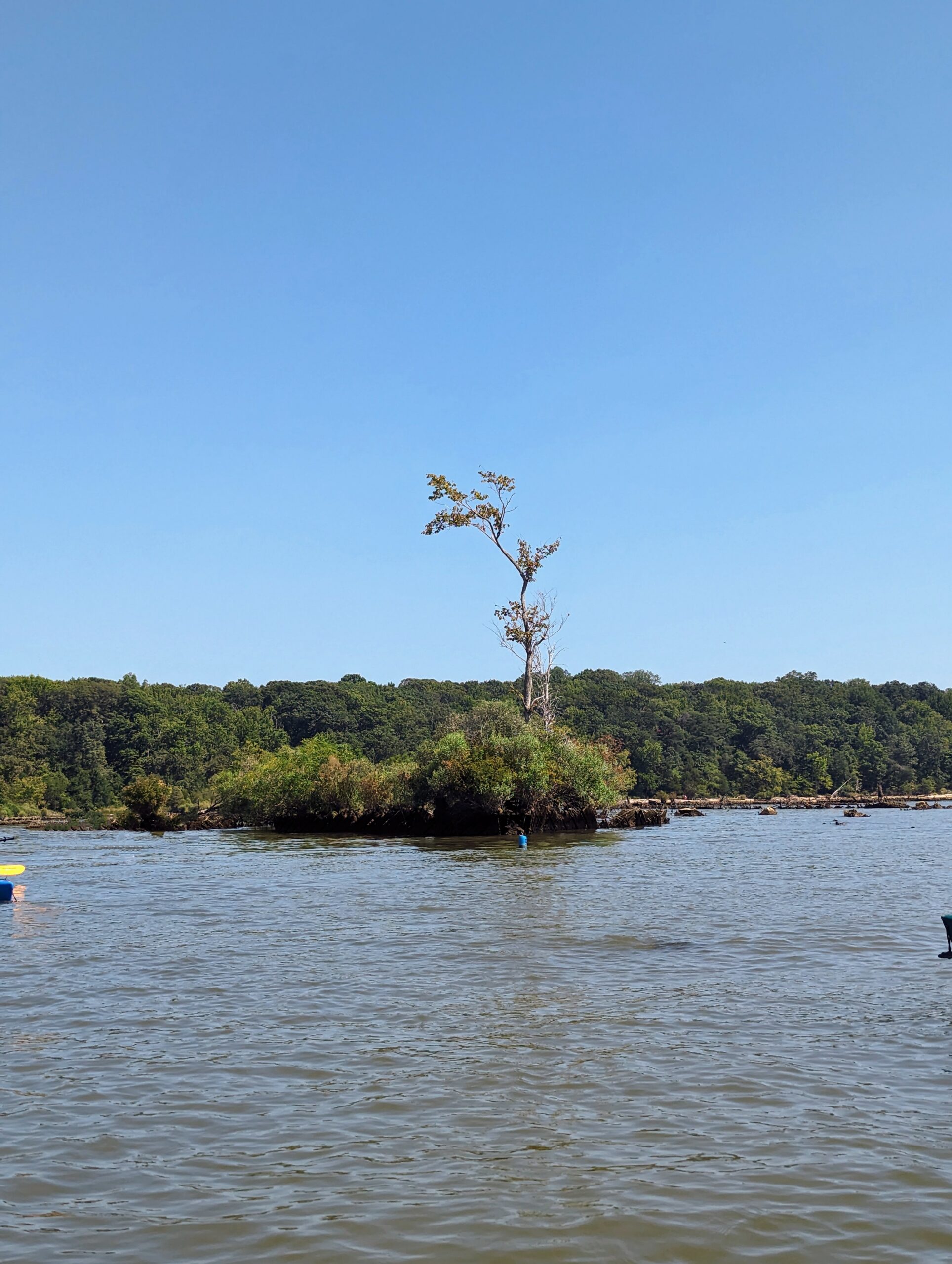
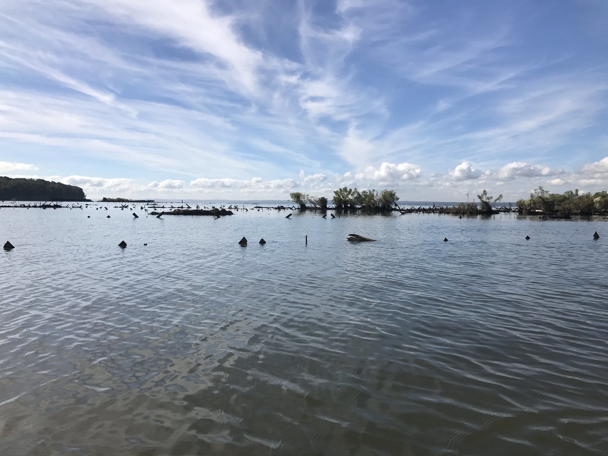
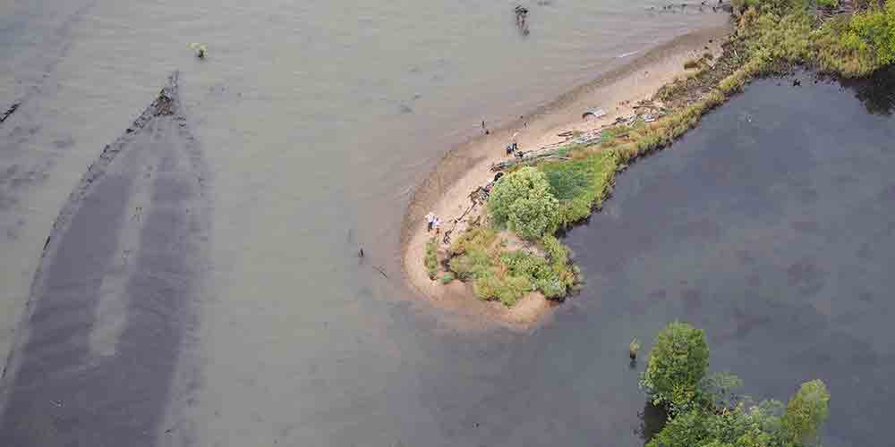
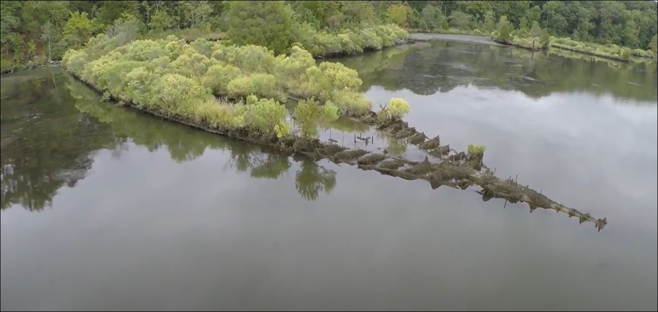
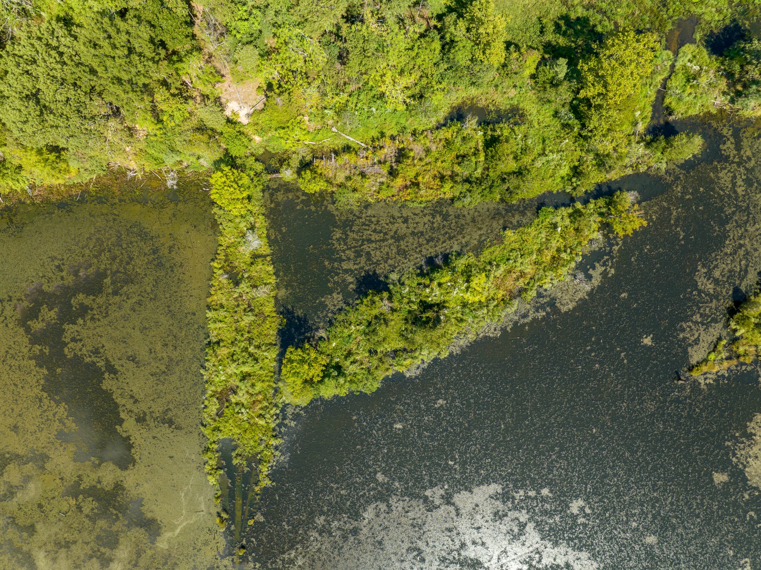
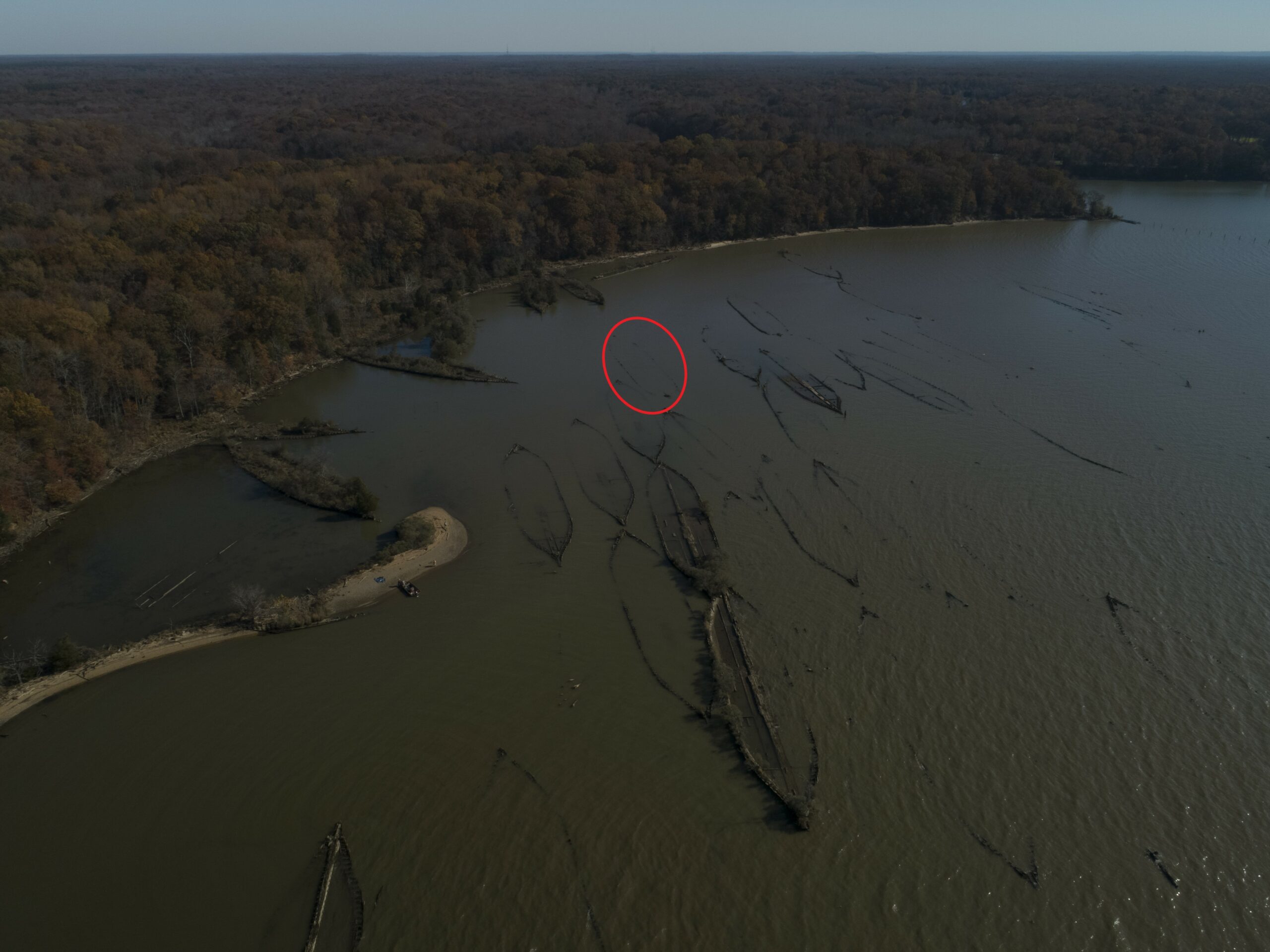
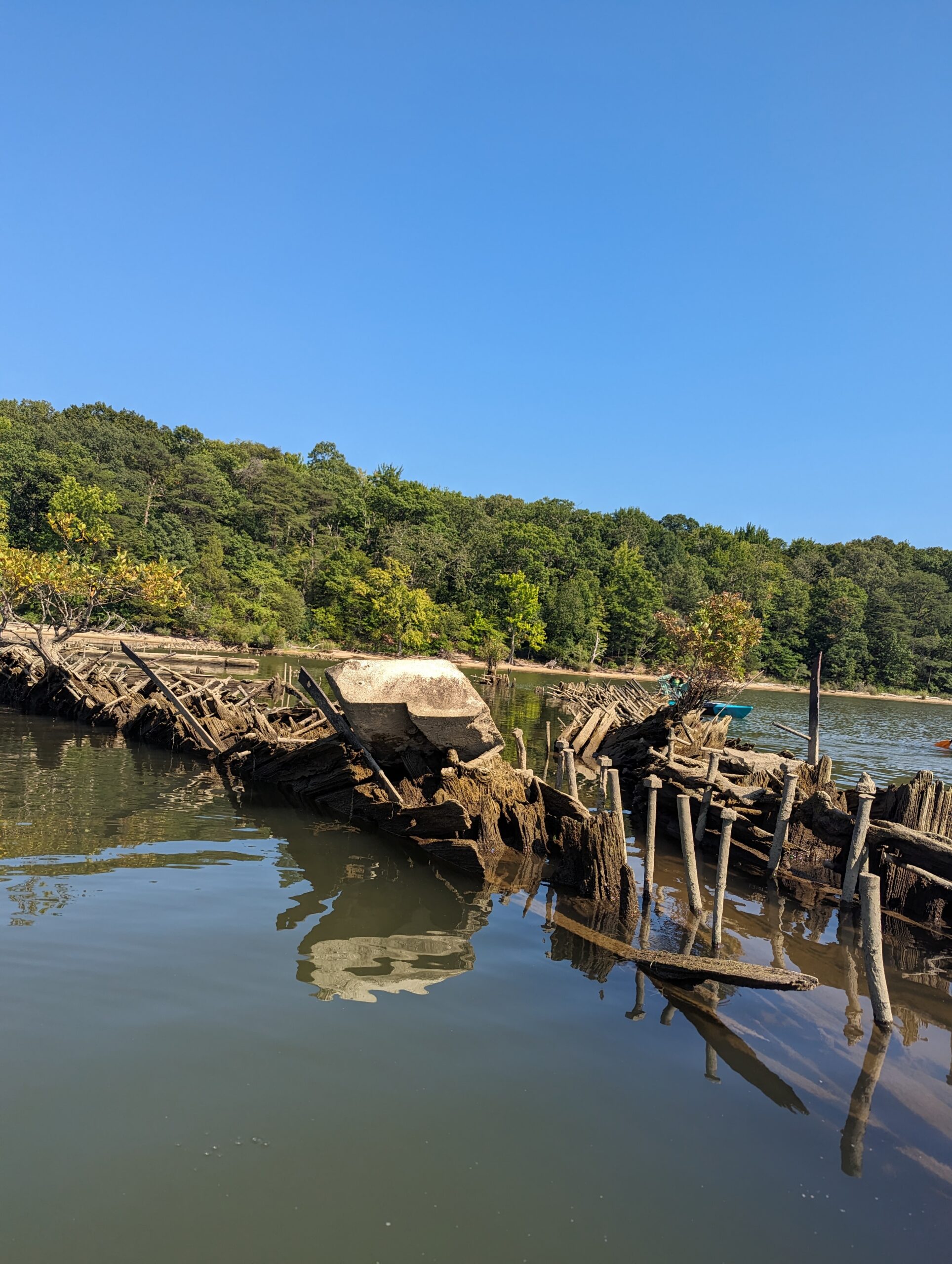
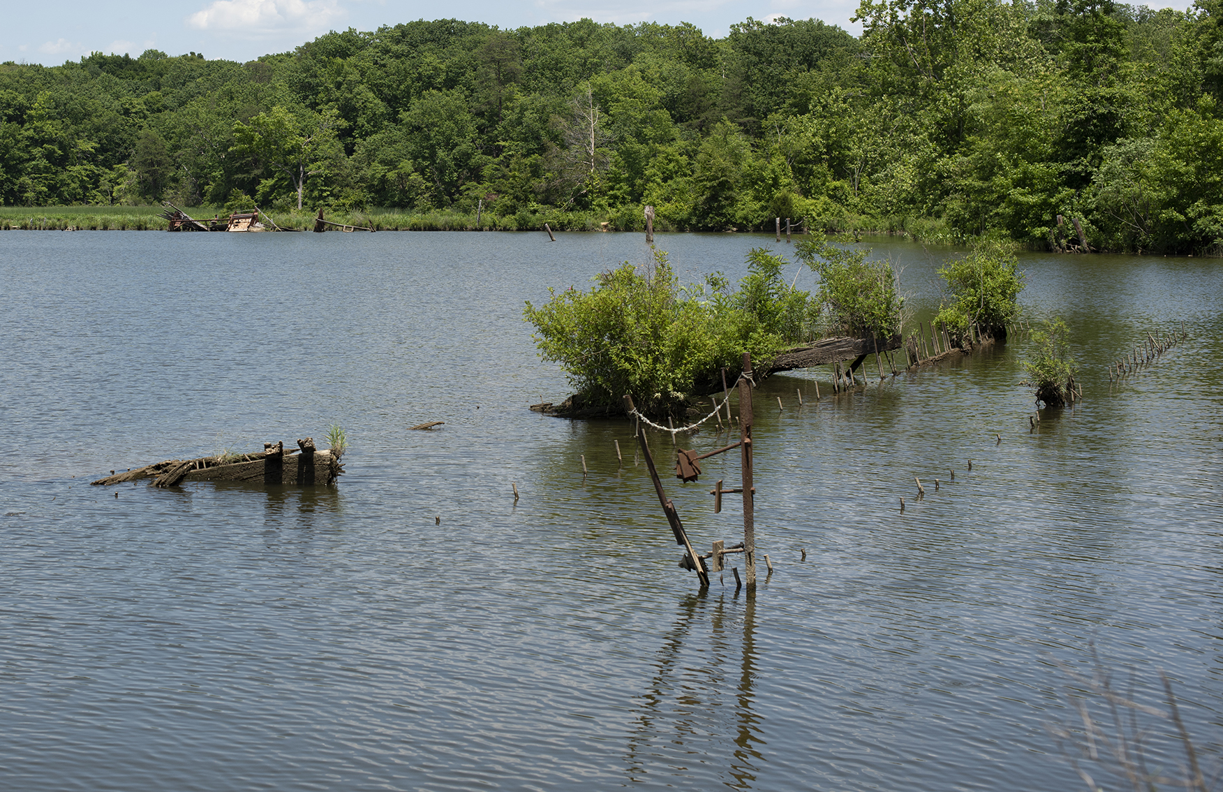
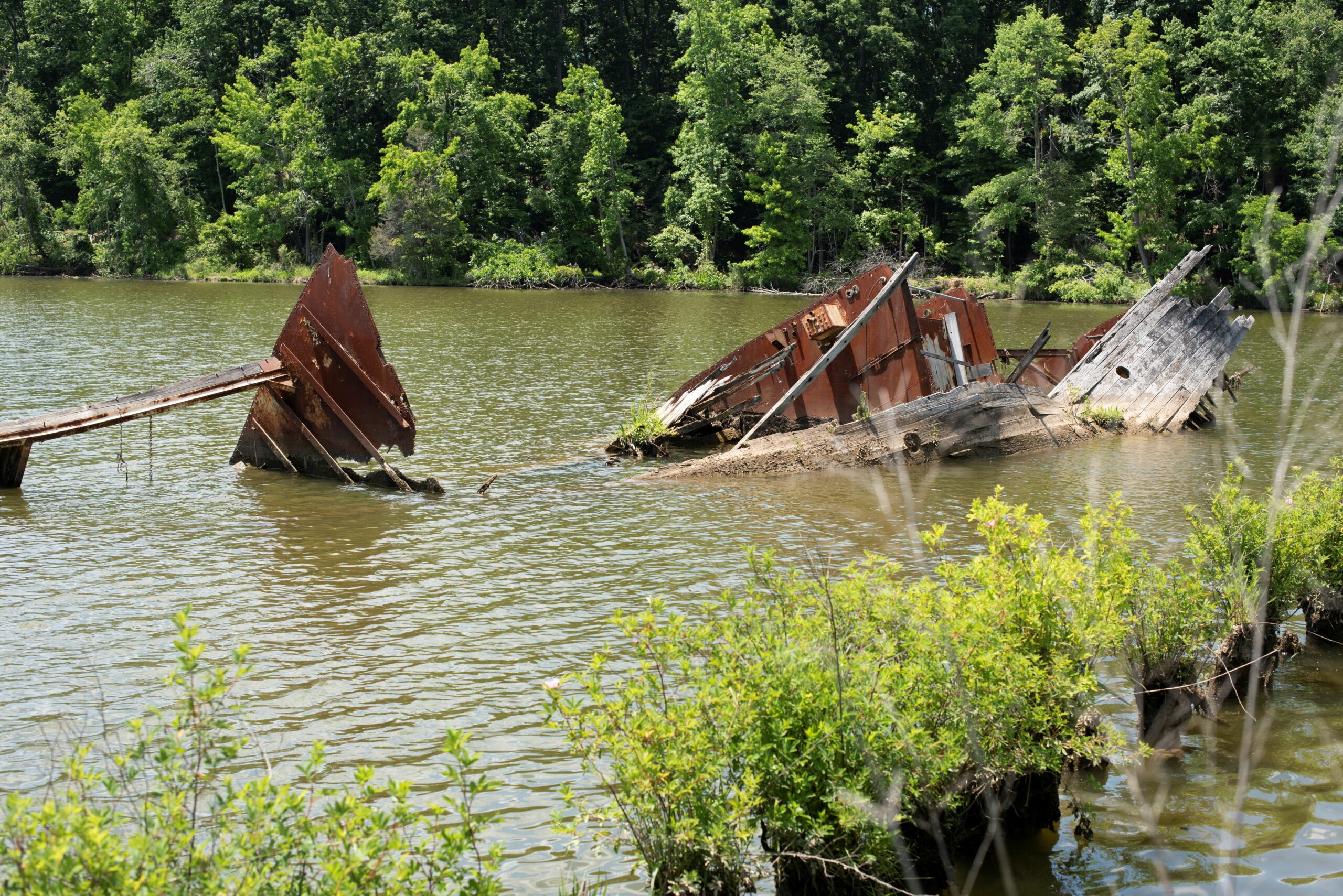
  • BEWARE OF HIDDEN WRECKS. It is dangerous to travel through the central shipwreck cluster, especially during high tide when ship remains lie just below the waterline and are invisible to the paddler.

Explore the Shipwrecks

Map Legend
Shipwreck Water Trail Points of Interest

Welcome to Terrain 360 virtual tour of Mallows Bay-Potomac River National Marine Sanctuary! Once you're in the virtual trail: Click or tap on the screen to move along the trail, highlighted by the text along the bottom of your screen. Click or tap on the orange hotspots to learn more information about the highlighted area. Use the mini-map in the upper left-hand corner of your screen to move or skip ahead. And most importantly, have fun!


Points of Interest

Launch Point 1

Launch Point

Point of Interest

Pilings 2

Pilings

Point of Interest

Accomac 3

Accomac

Shipwreck

Benzonia 4

Benzonia

Shipwreck

Caribou 5

Caribou

Shipwreck

Namecki 7

Namecki

Shipwreck

Mono 8

Mono

Shipwreck

Alanthus/Postage Stamp Wreck 9

Alanthus/Postage Stamp Wreck

Point of Interest

Yawah 10
Casmalia 11

Casmalia

Shipwreck

Buckhorn 12

Buckhorn

Shipwreck

Alpaco 13

Alpaco

Shipwreck

Grady’s Spit 14

Grady’s Spit

Landmark

Bayou Teche 15

Bayou Teche

Shipwreck

Moosabee 16

Moosabee

Shipwreck

Dertona 17

Dertona

Shipwreck

North Bend 18

North Bend

Shipwreck

Flower Pot Wrecks 19

Flower Pot Wrecks

Shipwreck

Afrania 20

Afrania

Shipwreck

Boone 21
Gateway to Bethlehem – Burning Basin 22

Gateway to Bethlehem – Burning Basin

Point of Interest

Barge Wreck 23

Barge Wreck

Shipwreck

Sea Scout Wreck 24

Sea Scout Wreck

Shipwreck


Current Conditions

December 31, 2025 05:56 PM

Air Temperature

AccuWeather

Water Temperature

Maryland DNR Buoy

Forecast

Water Level

NOAA Data

Additional Weather Data
Today's Tides
Time Tide Height
Tide Predictions - Mallows Bay

Data provided by