Grady’s Spit
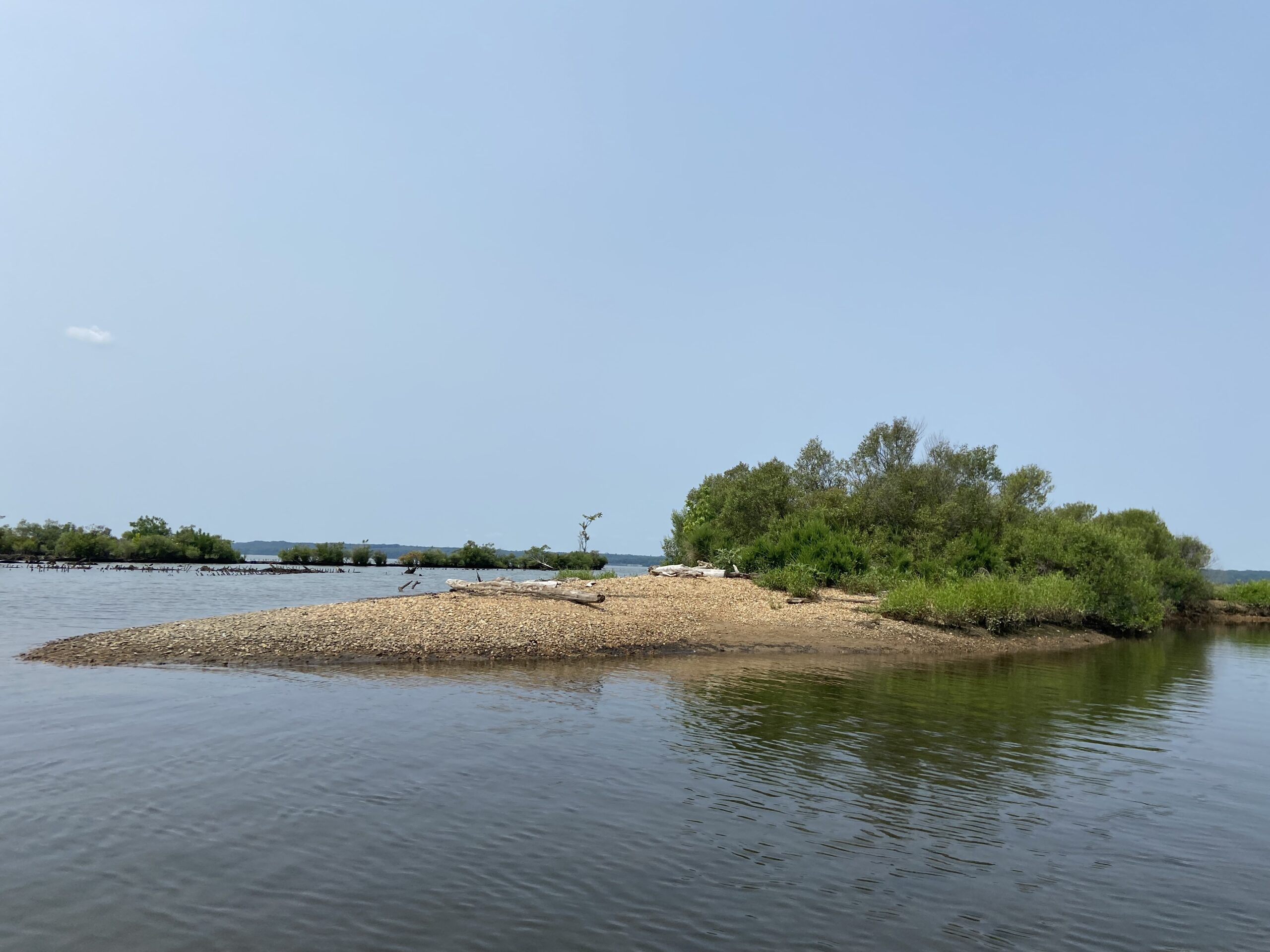
At the northernmost edge of Mallows Bay, the remains of several ships have created a landmass known as Grady’s spit. Over time, sediment got trapped in the hulls of the ships, creating a new landmass that changed the shoreline. Wetland plants began to grow as water currents and birds deposited seeds. Today, Grady’s spit offers a welcome landing spot for the tired paddler to get out and stretch their legs on a small beach.
As part of a bacterial water quality monitoring program with the Potomac Riverkeeper Network, volunteers take weekly water quality samples at Grady’s Spit, Liverpool Point, and the Mallows Bay boat ramp. The results are posted on the SwimGuide, letting the public know if the water is safe and healthy before they paddle.